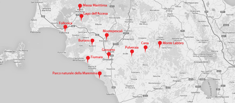
 Holidays with my parents in the part of southern Tuscany that I’ve visited often since I was 9. Much of the Maremma – an area that roughly coincides with the Province of Grosseto – used to be marshland, but was drained in the Mussolini era, and is now a flat polder. As malaria used to be prevalent in the marshes, most of the region’s historic towns and villages are perched on top of the surrounding hills.
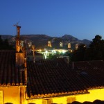
1. Buriano, 2015-07-27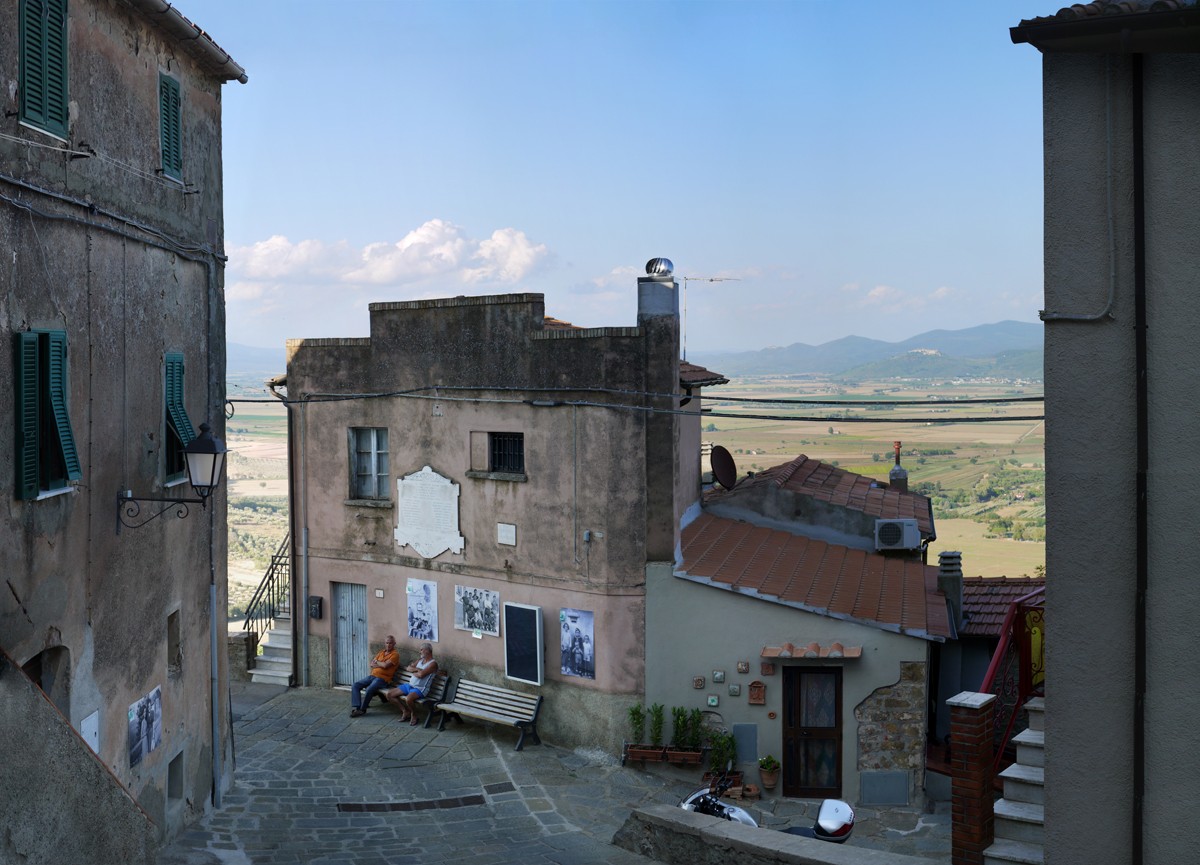 2. Montepescali seen from the middle of the plain, 2015-07-27
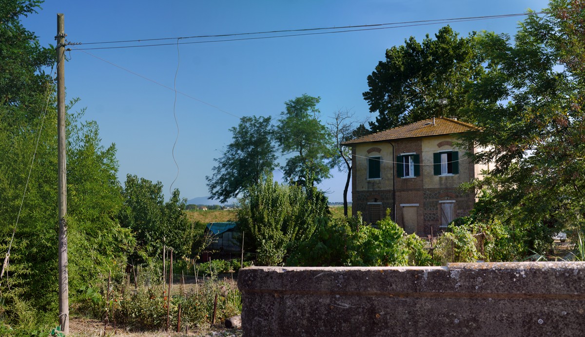
 3. A farmhouse in the middle of the plain between Buriano and Montepescali, 2015-07-27
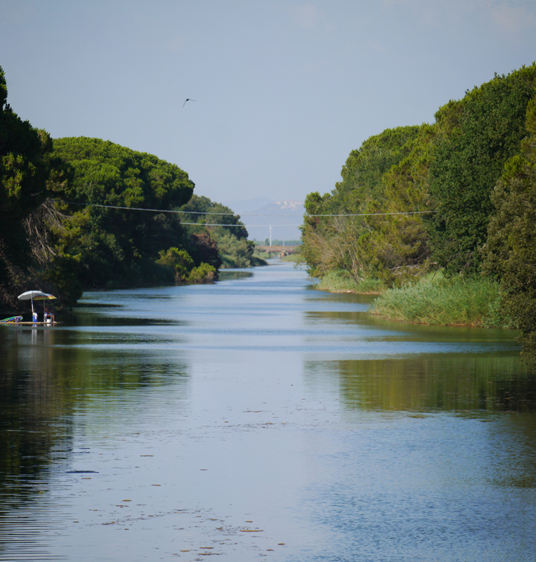
  4. A river near to where it flows into the Mediterranean at Fiumara beach, 2015-07-27
  5/6/7/8/9/10. Parco Naturale della Maremma, near the mouth of the River Ombrone, 2014-07
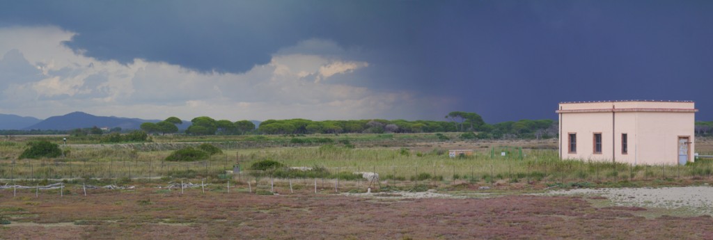
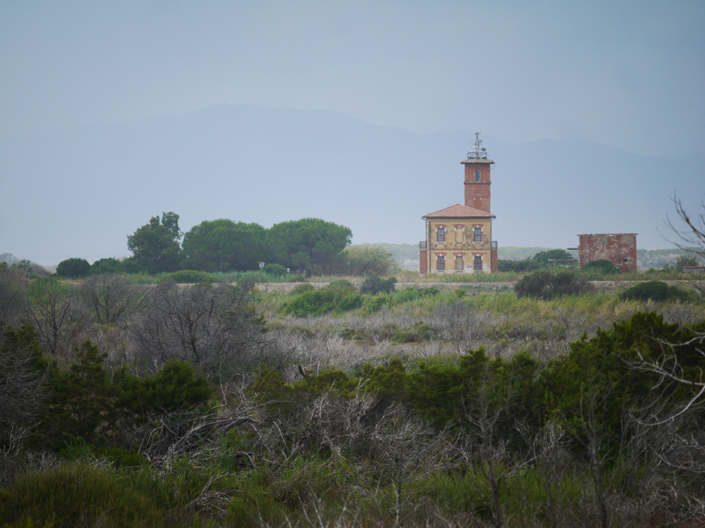
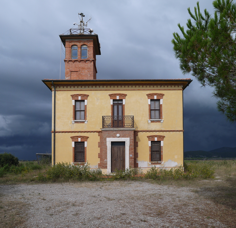
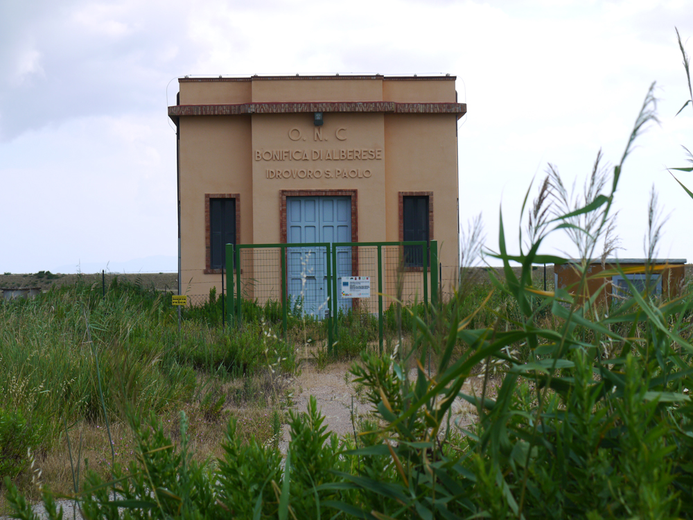
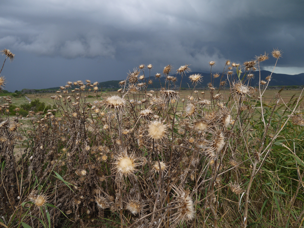
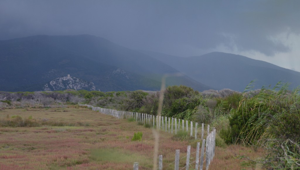 11/12. The coast of Parco Naturale della Maremma, probably the nicest beach in the region, which you can sometimes have all to yourself

The provincial capital Grosseto (pop. approx. 80,000) lies in the middle of this plain.
13. Central Grosseto, with the Mussolini-era post-office second from the left, 2014-07
 14. Mussolini-era post office (right), 2007-07-17
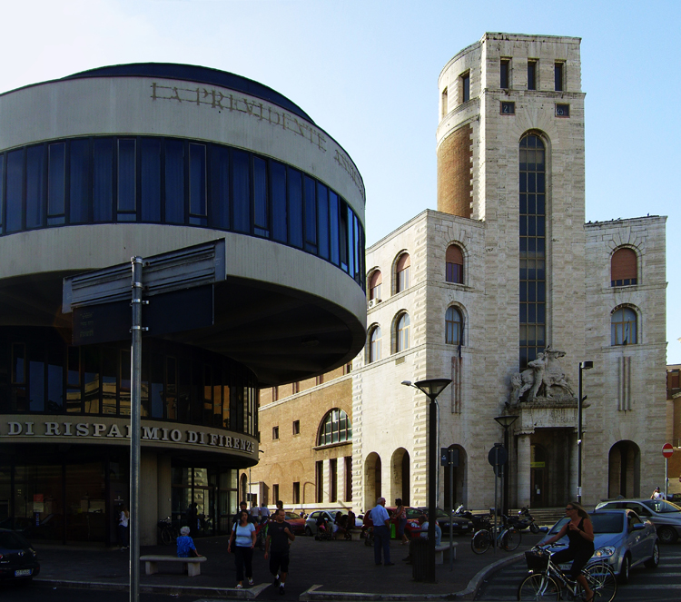 15/16/17/18. Grosseto, 2014-07
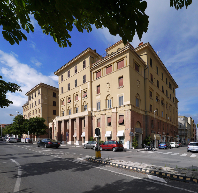
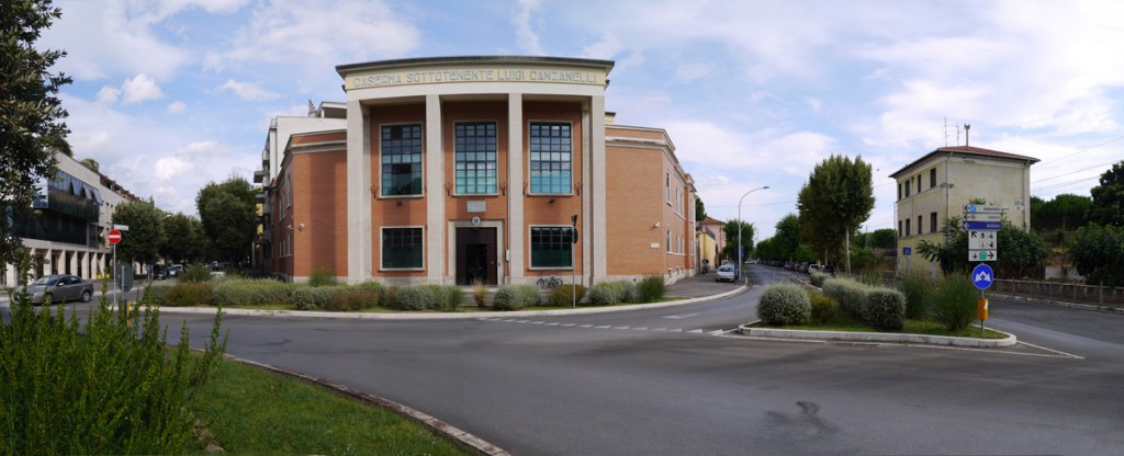
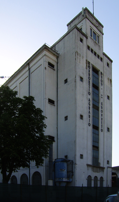
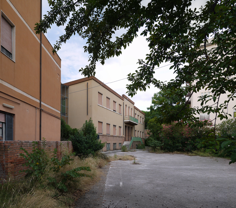 19. ‘Consorzio Agrario’, behind Grosseto station, 2007-07-18
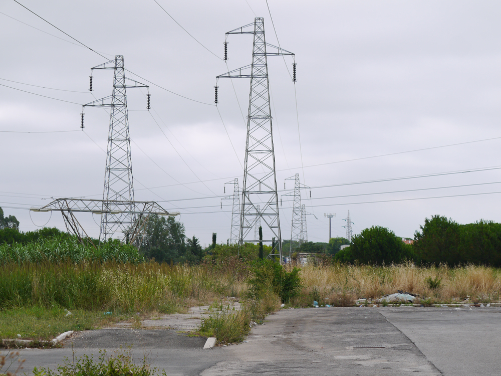
 21. Industrial estate in Grosseto, 2014-07
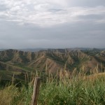
The eastern portion of the Maremma is hilly, and sometimes even mountainous, with Monte Amiata, it’s highest point, reaching 1,738 metres. This region is also home to many hilltop villages and towns.
22. Polveraia, 2014-07 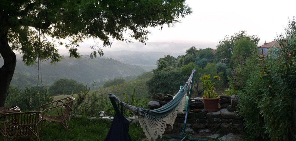 23. Sunset near Polveraia, 2014-07
  24/25. Cana, 2014-07
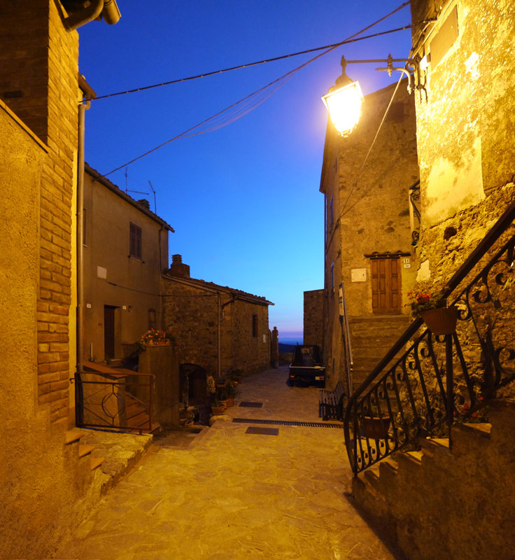
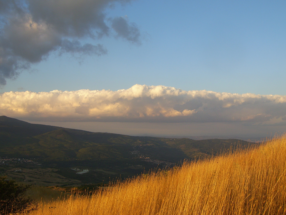
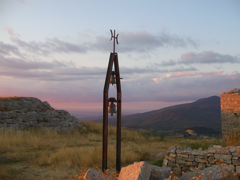
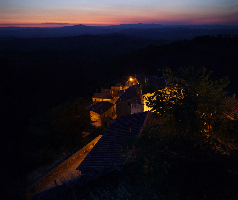 26/27/28/29. At almost 1200 metres on the summit of Monte Labbro, 2008-07-23

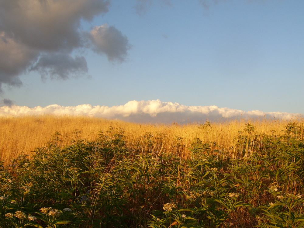
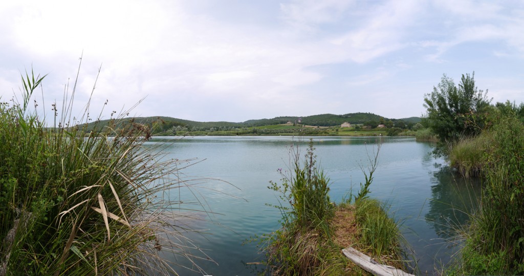
 30. Lago del Accesa, 2014-07
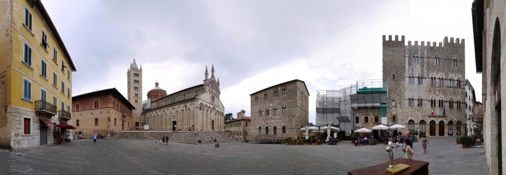
  27/28. Massa Marittima (pop.: +/- 8,500), 2014-07
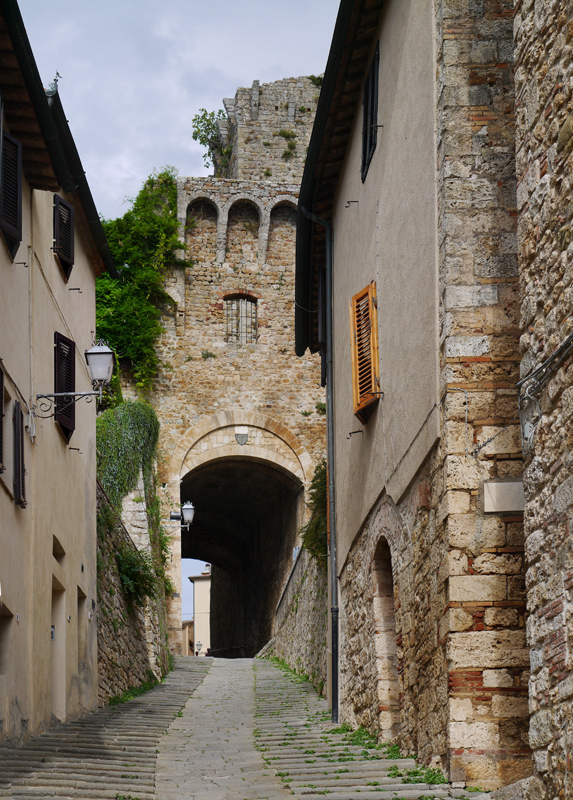
Follonica, a former iron town of about 22,000 on the coast in the north of the province, 2008-07-22
Leave a Reply